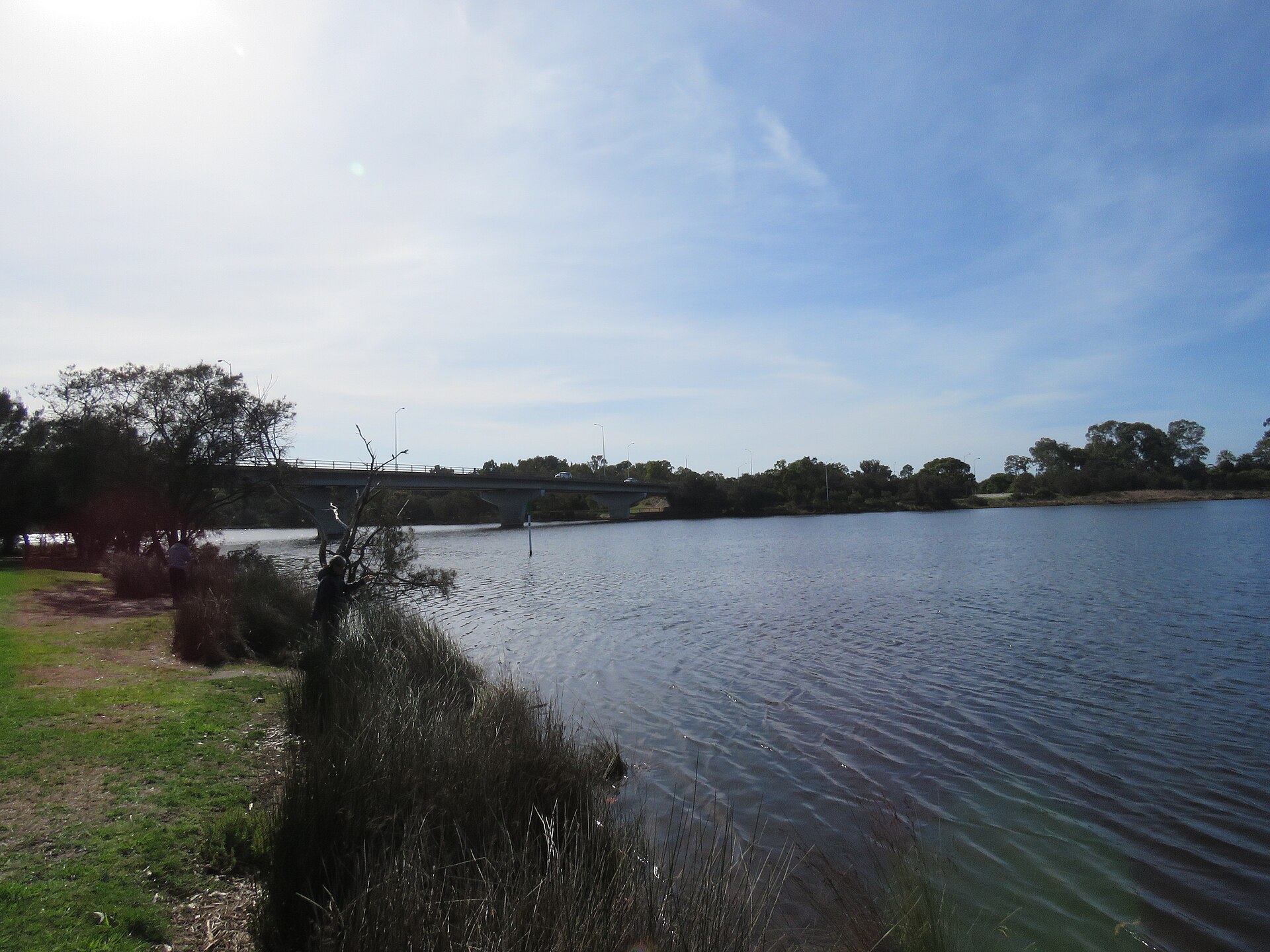
Shelley is believed to be named after the shells on its river shore, and a good part of it was river swamp until 1960. A line of old jarrah stakes in the water and a long foreshore park tell how it was made.
How Shelley got its name
Landgate records that Shelley was part of Riverton until it was approved as a separate suburb in the mid 1960s. It says the name is believed to refer to the shells on the Canning River shore here. The City of Canning gives the same explanation, tracing the name to shells found on the river’s beaches.
Before the suburb
The Canning River, Djarlgarro Beelier to the Whadjuk Noongar, was a source of food, water and resources for thousands of years. The City records that at colonisation two Whadjuk clans lived along the river, the Beeloo and the Beelier, with the river as the boundary between them. Beelier land lay south of the Swan River and west of the Canning, and Midgegooroo and his son Yagan’s family held rights in the Beelier district.
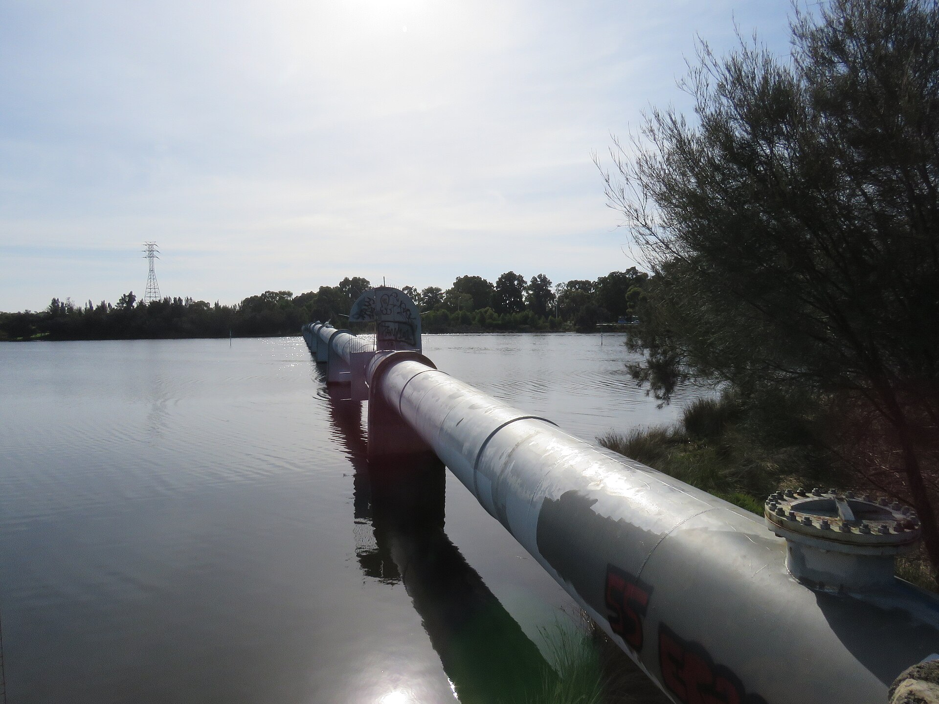
The river was the colony’s main road in Canning, with a ferry between Yule’s Rapids and Bull’s Creek. In the 1860s Benjamin Mason began shipping timber from the Darling Range down the river from Mason’s Landing, and from 1866 a convict party drove a fence of jarrah stakes, wattled with casuarina logs and boughs, through the Shelley Basin to keep a channel open for the timber barges. It needed repairs into the 1890s and did not stop the silting.
How it grew
Riverton’s original subdivision began in 1911, and the land that is now Shelley was part of it. Much of the river frontage was still swamp when the Shire stepped in.
In 1960 the owners of the river swamp blocks agreed to a reclamation scheme that the Shire of Canning started, paid for and carried out. About one and a half miles of foreshore between Corbel Street and Beatrice Avenue were reclaimed and 36 acres of private land resumed. The Shire did the filling, built the roads and resurveyed the land, which gave access to 80 river-frontage lots between Zenith Street and Fifth Avenue, and the scheme created the Shelley Foreshore Reserve. The City’s history credits this reclamation with creating the suburb of Shelley, one of several suburbs carved out of the Riverton area after the war.
Places that tell the story
Remnants of the convict fence can still be seen in the river from the Shelley Bridge and Riverton Drive. The fence was placed on the State Register of Heritage Places in 1997.
The foreshore created in the 1960s is now the Shelley and Rossmoyne Foreshore Park, about 9 km of riverbank along Riverton Drive, and the Canning River Regional Park runs upstream along both banks from the Shelley Bridge to the Nicholson Road Bridge.
Shelley today
The 2021 Census counted 4,795 people in Shelley. The streets laid out on reclaimed swamp now front a long public foreshore, and the line of stakes in the river is a reminder of the timber barges that once worked the Shelley Basin.
More about Shelley
For what Shelley is like to live in now, read our Shelley suburb profile. If you own a property in Shelley and are thinking about selling, start with buyers for your property.
Sources
- Landgate: Perth and surrounds suburb names (archived 2022)
- City of Canning: Our suburbs
- City of Canning: Local history
- City of Canning: Aboriginal history
- City of Canning: Historic landmarks
- City of Canning: Parks directory
- ABS 2021 Census QuickStats: Shelley
Top image: Shelley Bridge over the Canning River, seen from the south, 2021. Photo: Calistemon, CC BY-SA 4.0, via Wikimedia Commons.
Dates and names are drawn from the sources above. Where sources differ, we have said so or given an approximate date.
By Key Performance Real Estate, 338 Beaufort Street, Perth
Category
Suburb Histories
Related Posts
Get an up-to-date, obligation-free market appraisal
Get our professional, obligation-free opinion of your property’s value, with advice on how and when to sell.