Nollamara was largely rural until 1950, when the State Housing Commission resumed land along Wanneroo Road for a new suburb. By 1969 it held more than 2,500 houses.

How Nollamara got its name
Landgate records that the name was approved in 1954 and is an Aboriginal word for the red and green kangaroo paw, Western Australia’s floral emblem. The City of Stirling gives the meaning as the plant usually called the black kangaroo paw. The two agree on the plant family and the year, but not on which kangaroo paw.
Landgate places Nollamara among the State Housing Commission’s Mirrabooka Project suburbs of the early 1950s.
Before the suburb
The City of Stirling’s thematic history says Wadjak Nyoongar people traditionally occupied the country that is now metropolitan Perth. It describes Mooro country, which lies within Wadjak country and the City of Stirling, as running from the Indian Ocean to the Swan River, east to Ellenbrook and north beyond Yanchep, and names Yellagonga as one of the key leaders of the Aboriginal people of the area.
The City’s records differ on the first land grants. Its Art and History Collection says a grant of 6,020 acres covering the present suburb was made in 1840 to Thomas Richard Carey Walters, who had arrived in the Swan River Colony on the Warrior on 12 March 1830 and also held land at Karrinyup and near Lake Monger. Its suburb page and thematic history instead say parts of the area were granted to William Knight in 1841 and Mary Hutton in March 1844.
Before the Second World War, the southern part of what became Nollamara was used mainly for market gardens and poultry farms.
How it grew
In 1950 the State Housing Commission resumed land along Wanneroo Road. Nollamara was to be part of a satellite city at Mirrabooka, which the thematic history describes as a planned regional centre of 16,000 houses with civic and recreational facilities.
The suburb was named in 1954. The first forty houses and the Nollamara school were finished in 1956, and by 1969 more than 2,500 houses had been built. The wider satellite city was never finished: the thematic history records that the proposal was abandoned in 1982, when Mirrabooka was formally created as a suburb from the former Yirrigan area.
Since then the City notes steady redevelopment, with many older houses replaced by units and duplexes and a falling share of State Housing properties.
Places that tell the story
Nollamara Primary School at 105 Harrison Street is on the City of Stirling’s heritage list as a place of some cultural heritage significance.
The John Barleycorn Hotel, built in the early 1960s in the shopping centre on Hillsborough Drive, is noted by the City’s history collection for its unusual roofline. The City of Stirling names the water tower beside the Mount Yokine Reservoir as a significant landmark.
Nollamara today
The 2021 Census counted 12,779 people in Nollamara. Townhouses and duplexes now stand beside the remaining State Housing houses of the 1950s, and buses on Flinders Street and Wanneroo Road link the suburb with Perth and Mirrabooka.
More about Nollamara
For what Nollamara is like to live in now, read our Nollamara suburb profile. If you own a property in Nollamara and are thinking about selling, start with buyers for your property.
Sources
- Landgate: Perth and surrounds suburb names (archived 2022)
- City of Stirling Art and History Collection: Nollamara
- City of Stirling: Nollamara suburb page
- City of Stirling: A Thematic History of the City of Stirling (2018)
- City of Stirling: Current Heritage List (August 2025)
- ABS 2021 Census QuickStats: Nollamara
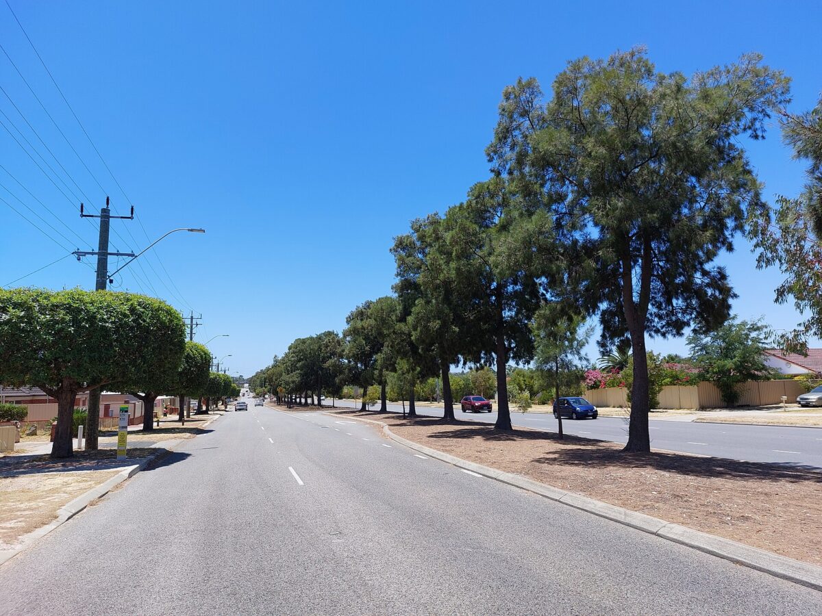
Top image: Mirrabooka Avenue looking north from Robertsbridge Road, Nollamara, 2023. Photo: Orderinchaos, CC BY-SA 4.0, via Wikimedia Commons.
Dates and names are drawn from the sources above. Where sources differ, we have said so or given an approximate date.
By Key Performance Real Estate, 338 Beaufort Street, Perth
Category
Suburb Histories
Related Posts
Get an up-to-date, obligation-free market appraisal
Get our professional, obligation-free opinion of your property’s value, with advice on how and when to sell.