
Gosnells is named after Charles Gosnell, a London perfumer who bought a Canning River farm in 1862. A grave, a 1912 homestead and a wetland named after a schoolteacher tell the rest of the story.
How Gosnells got its name
Landgate traces the name to Charles Gosnell, a director of the London perfumery firm John Gosnell and Co., who bought the land in 1862. It had been the farm of John Okey Davis, who arrived on the Lotus in 1829 with his wife and seven children. The City of Gosnells calls Gosnell the wealthy owner of a London cosmetics company, and its heritage trail says he bought the farm, Chenies, as an investment. In the early 1900s a group of developers bought his land, subdivided it and sold it as the Gosnell Estate, and when a new municipality was formed in 1907 it took the name Gosnells.
Before the suburb
Gosnells lies on the Canning River, Djarlgarra Beeliar, in Whadjuk Noongar country, and the City notes known Aboriginal cultural heritage sites along the Canning and Southern rivers. It says the river supplied fish and other food for the Beeliar and Beloo people.
Landgate notes that settlers came to this stretch of the Canning from 1829 for its soils and water. In November 1829, two months after the first Swan River Colony grants, land along the river in the area called The Canning was allocated to colonists. Davis received 7,026 acres covering most of present-day Gosnells, Huntingdale and Southern River. He and his wife Frances called the farm Chenies, built a mud brick house and grew wheat and vegetables. After they died their sons farmed it until the sale to Gosnell in 1862.
How it grew
Gold rush growth in the 1890s stretched the Canning Road Board, which ran the district from Kelmscott to Bentley, and the Gosnells Road Board was gazetted in 1907, holding its first elections on Foundation Day. Its first office was in Maddington. Roads and drains were its main work, above all the run-down Albany Highway.
The land around the new townsite went to market gardens, orchards, poultry farms and house lots. In 1905 John Wilkinson, a tailor from Ballarat, and his wife Emma bought part of the old Davis farm and in 1912 built a homestead at the centre of a citrus orchard that became one of the largest in Western Australia. The family kept it until 1963.
Growth after the Second World War was fast: the City says the district’s population rose from about 7,500 in the early 1950s to 40,000 by the mid-1970s. The Road Board became the Shire of Gosnells on 1 July 1961, the Town of Gosnells on 1 July 1973 and the City of Gosnells on 1 July 1977. The Town’s administration centre opened in 1973 on Albany Highway, and Gosnells Central shopping centre opened in 1975.
On 17 April 2005 a new Gosnells Station opened about 300 metres towards Perth from the old one, at a cost of $8.8 million. Moving it let Stalker Road cross the railway and opened up the Main Street precinct, and the government described it as a key part of the City’s town centre revitalisation.
Places that tell the story
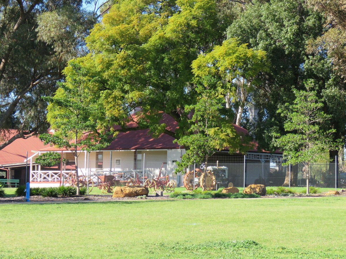
Wilkinson Homestead at 34 Homestead Road has been on the State Register of Heritage Places since 1999. It was renovated as a community centre in 1980, opened as a museum in 1988 and became the City of Gosnells Museum, Wilkinson Homestead in 2002. Most of the orchard trees were removed in 1997. Nearby, John Okey Davis Park was set aside by the council in 1962 to protect the Davis family grave.
Mary Carroll Park on Verna Street was reserved in 1971 as a bird sanctuary and park, and named after Mary Carroll, a naturalist who taught at Gosnells Primary School and was associated with it from 1923 to 1956. Its white gums were planted in the 1980s, and the place is on the City’s heritage inventory.
The City’s Civic Centre on Albany Highway near Mills Road overlooks the Albany Highway Bridge, which the City dates to the 1860s.
Gosnells today
The 2021 Census counted 21,149 people in Gosnells. The City of Gosnells as a whole had about 133,000 residents in 2021, and more than 43 per cent were born overseas.
More about Gosnells
For what Gosnells is like to live in now, read our Gosnells suburb profile. If you own a property in Gosnells and are thinking about selling, start with buyers for your property.
Sources
- Landgate: Perth and surrounds suburb names (archived 2022)
- City of Gosnells: History and heritage
- City of Gosnells: History of the City
- inHerit: Wilkinson Homestead
- inHerit: Mary Carroll Park and White Gums
- City of Gosnells: Kenwick and Maddington heritage trails brochure (2013)
- City of Gosnells Museum at Wilkinson Homestead
- WA Government: New railway station will help revitalise Gosnells (2005)
- Centuria: Gosnells Central Shopping Complex
- ABS 2021 Census QuickStats: Gosnells
Top image: Gosnells Station, 2022. Photo: Steelkamp, CC BY-SA 4.0, via Wikimedia Commons.
Dates and names are drawn from the sources above. Where sources differ, we have said so or given an approximate date.
By Key Performance Real Estate, 338 Beaufort Street, Perth
Category
Suburb Histories
Related Posts
Get an up-to-date, obligation-free market appraisal
Get our professional, obligation-free opinion of your property’s value, with advice on how and when to sell.
