
Cottesloe was named in 1886, but it had only a handful of permanent residents until the gold boom. The houses, hotels and pine avenues built after 1890 still shape the suburb.
How Cottesloe got its name
Landgate records that in September 1886 John Forrest, then Commissioner of Crown Lands, was about to subdivide Crown land between Perth and Fremantle and asked Governor Sir Frederick Napier Broome for a name. On 21 September Broome suggested Cottesloe. It was the title given in 1874 to Thomas Francis Fremantle, the first Baron Cottesloe. He was the older brother of Captain Charles Howe Fremantle, who raised the first British flag at Fremantle on 2 May 1829. Heritage Council assessments add that Thomas Fremantle had been Chief Secretary of Ireland.
Before the suburb
The Town of Cottesloe acknowledges the Whadjuk Nyoongar people as the traditional custodians of the land and waters. Mudurup Rocks, south of the surf club, is a ceremonial site, and the Town gives the meaning of Mudurup as “place of the whiting”. Nyoongar people fished there in mid to late summer, in the seasons of Birak and Bunuru. A second registered site marks the narrow crossing between Rocky Bay on the Swan River and the ocean at the southern end of Cottesloe, and artefacts recorded near Victoria Street Station and Macarthur Street point to camps on routes between the river and the coast.
After 1829 the area was treated as vacant Crown land between Perth and Fremantle, with a few homesteads, some quarrying and lime burning. Convict gangs built the Perth to Fremantle Road through it in the 1860s, the Fremantle to Guildford railway opened in 1881, and in 1883 John Forrest, as Surveyor General, laid out the streets and reserves.
How it grew
Settlement was slow. Heritage Council assessments give Cottesloe only six permanent residents in 1893, although the Macaulay House assessment counts about 20 families in that year’s Post Office Directory. In 1895 the government granted £100 to improve the Perth to Fremantle Road and another £100 for its upkeep. In the gold boom, families such as the Burts and the Norths built holiday houses there in the late 1890s. The Cottesloe Roads Board, forerunner of the Town council, held its first meeting in the 1897 building at 583 to 585 Stirling Highway.
On the beach, a jetty and bathing pavilion stood off Marine Parade from 1906 into the 1930s, and the Cottesloe Beach Hotel was built in 1905. By the late 1920s and early 1930s most of Broome Street had been built on, and Pine Court, a block of flats at 96 to 98 Broome Street, followed about 1937. The Perth to Fremantle Road through the district was renamed Stirling Highway in 1934.
Places that tell the story
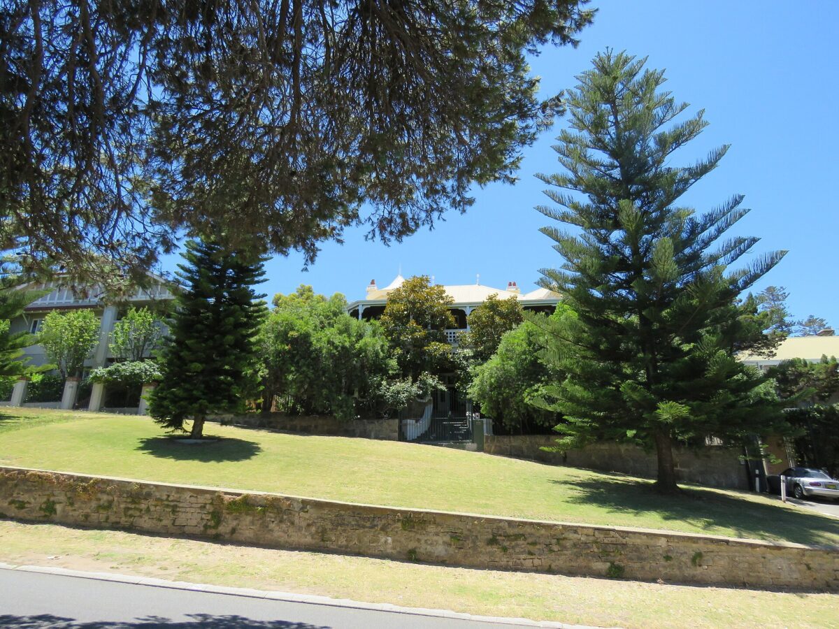
Le Fanu at 2 Salvado Street, a two-storey Federation Queen Anne house of brick and limestone begun in 1895, was classified by the National Trust in 1975 and is on the State Register. The Cottesloe Civic Centre at 109 Broome Street, which takes in Overton Lodge and the war memorial, has been on the State Register since 1997. Wearne Hostel at 1 Gibney Street, once a Ministering Children’s League convalescent home, was registered in 2000.
The Local Heritage Survey also records the site of Edith Cowan’s former home at 17 to 19 Avonmore Terrace, John Curtin’s house at 24 Jarrad Street, built in 1923, the Hardey Memorial Church of 1904 on Edward Street and Sproule’s Coffee Palace of 1903 to 1904 on Stirling Highway. Trafalgar House at 15 Barsden Street, built about 1914 to 1915, was owned by the Commonwealth from 1952 and was the naval Commodore’s residence until 1998. The Cottesloe Beach Hotel was interim listed on the State Register in May 2004.
Cottesloe today
The 2021 Census counted 7,750 people in Cottesloe, with a median age of 44. Stage One of the foreshore revitalisation, funded in May 2026, will turn a Marine Parade car park into public open space.
More about Cottesloe
For what Cottesloe is like to live in now, read our Cottesloe suburb profile. If you own a property in Cottesloe and are thinking about selling, start with buyers for your property.
Sources
- Landgate: Perth and surrounds suburb names (archived 2022)
- Heritage Council: Macaulay House, Cottesloe, assessment documentation (2011)
- Heritage Council: Pine Court, Cottesloe, assessment documentation (2003)
- Heritage Council: Trafalgar House, Cottesloe, assessment documentation (2001)
- Heritage Council: Cottesloe Police Station (fmr), assessment documentation (2000)
- Town of Cottesloe: History and Heritage (Aboriginal culture)
- Town of Cottesloe: History and Heritage
- Town of Cottesloe: Local Heritage Survey (2025 update)
- inHerit: Le Fanu
- inHerit: Cottesloe Civic Centre
- inHerit: Wearne Hostel
- WA Government: Cottesloe Beach Hotel added to State Heritage List (2004)
- Town of Cottesloe: Cottesloe Foreshore Redevelopment Project
- ABS 2021 Census QuickStats: Cottesloe
Top image: North Cottesloe Beach at sunset, 2024. Photo: Brock 1996, CC BY-SA 4.0, via Wikimedia Commons.
Dates and names are drawn from the sources above. Where sources differ, we have said so or given an approximate date.
By Key Performance Real Estate, 338 Beaufort Street, Perth
Category
Suburb Histories
Related Posts
Get an up-to-date, obligation-free market appraisal
Get our professional, obligation-free opinion of your property’s value, with advice on how and when to sell.
