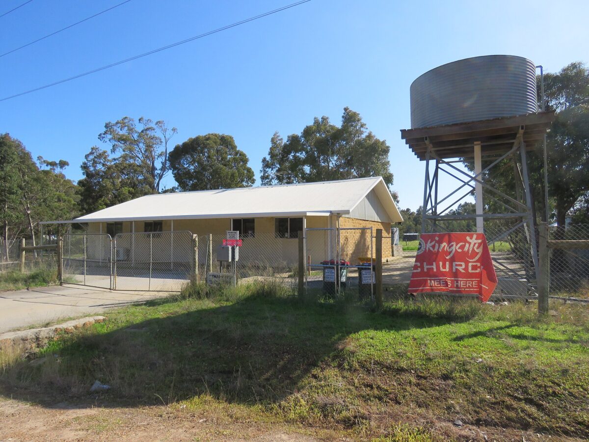
Cardup takes its name from the brook that marked the northern edge of an 1840s farm. Bricks, dairying and a railway siding shaped it over the next century.
How Cardup got its name
Landgate records that in 1844 Surveyor Robert Austin recorded Cockburn Sound Location 22 as Cardoup, and that the brook on its northern boundary appeared as Cardoup Brook or Cadup Brook. When H Mead bought the location in 1851 he gave his address as Cardup, and that spelling was used on most later plans. By 1927 a railway siding nearby also carried the name.
Landgate gives Cardup as an Aboriginal name said to mean “place of the racehorse goanna” (kurda).
Before the suburb
The Shire of Serpentine-Jarrahdale’s heritage survey describes the district as Aboriginal country before 1829 and records the Serpentine River as a movement corridor for the Whadjuk Noongar people. Farms at Wungong and Cardup were surveyed in 1844.
The Mead family were among the early settlers. Henry Mead and his wife Dorothy lived at Cardup while their house, Lake View, was being built on the slope above the coastal plain.
How it grew
Shale in the district drew brickmakers. The Cardup Steam Pressed Brick Company was set up in 1903, and in 1914 the Cardup holding was sold to P F Robinson and the brothers Henry and William Coulthard, who made bricks, roof tiles and pots. Millars Timber and Trading Company bought the works in 1926 and installed a Hoffman kiln.
The works closed during the Second World War and reopened in 1945. New machinery and kilns installed in the late 1940s lifted output from nearly 6 million to 11 million bricks a year. Later owners included Cardup Metro Bricks and, from 1973, H L Brisbane and Wunderlich, when the works were among the most modern in Australia.
Dairying ran alongside the bricks. On Hopkinson Road, A E Orton took up land in 1912 and named it Fremnells after his family’s homestead in Essex. The Kargotich family bought it in 1978.
Places that tell the story
inHerit describes the brick kilns on Kiln Road as the only brickworks remaining in the shire, with chimneys that are landmarks on the Byford skyline. Fremnells Dairy on Hopkinson Road is a relatively intact example of a working dairy farm. The red gum stand at Alice and Redcliffe Roads is on the Shire’s heritage list.
Cardup today
The 2021 Census counted 1,163 people in Cardup. The Tonkin Highway extension and new lots at Constellar are bringing change to an area that is still largely semi-rural.
More about Cardup
For what Cardup is like to live in now, read our Cardup suburb profile. If you own a property in Cardup and are thinking about selling, start with buyers for your property.
Sources
- Landgate: Perth and surrounds suburb names (archived 2022)
- Shire of Serpentine-Jarrahdale: Local Heritage Survey
- inHerit: Brick Kilns, Cardup Brickworks
- ABS 2021 Census QuickStats: Cardup
Top image: Baker Hall, Cardup, August 2022. Photo: Calistemon, CC BY-SA 4.0, via Wikimedia Commons.
Dates and names are drawn from the sources above. Where sources differ, we have said so or given an approximate date.
By Key Performance Real Estate, 338 Beaufort Street, Perth
Category
Suburb Histories
Related Posts
Get an up-to-date, obligation-free market appraisal
Get our professional, obligation-free opinion of your property’s value, with advice on how and when to sell.